I thought I would share with you some photos I have taken at the Airdrie Airport which began life as a satellite airfield for #37 S.F.T.S. Calgary and in the last years served as a place for pilots to rig up practice bombs for the bombing range which was on a lake about 5 miles northeast of the airfield.

If you look on the corners of the map above you can see that Airdrie was considered a "Relief Airfield" from 1942-44 and then was called RCAF Station Airdrie from 1944-45.

The above photo shows a detail of the few buildings that were here during the war. The hangar is the southernmost black object. The "H" shaped building was likely barracks. The other remaining buildings were used for arming planes that were heading to the bombing range for practice runs.

This is a detail of the three buildings associated with "Bombing up" an aircraft for a bombing run. It looks like they kept the powder distant from both the bomb storage and assembly site...I can't imagine they were carrying very substantial bombs but I am sure that the threat of explosion was every bit as real and dangerous.
.JPG)
The "H" building was indeed a barracks building. Building #3 was an 8 bay garage for the "MT Section" or Motor Transport. You can see that they had a 1000 gallon underground storage tank. Buildings 8 and 9 were a pumphouse and a reservoir respectively.

That "mobile air traffic control truck" is sure interesting looking. I wonder what ever became of it? It kinda reminds me of the "Popemobile".

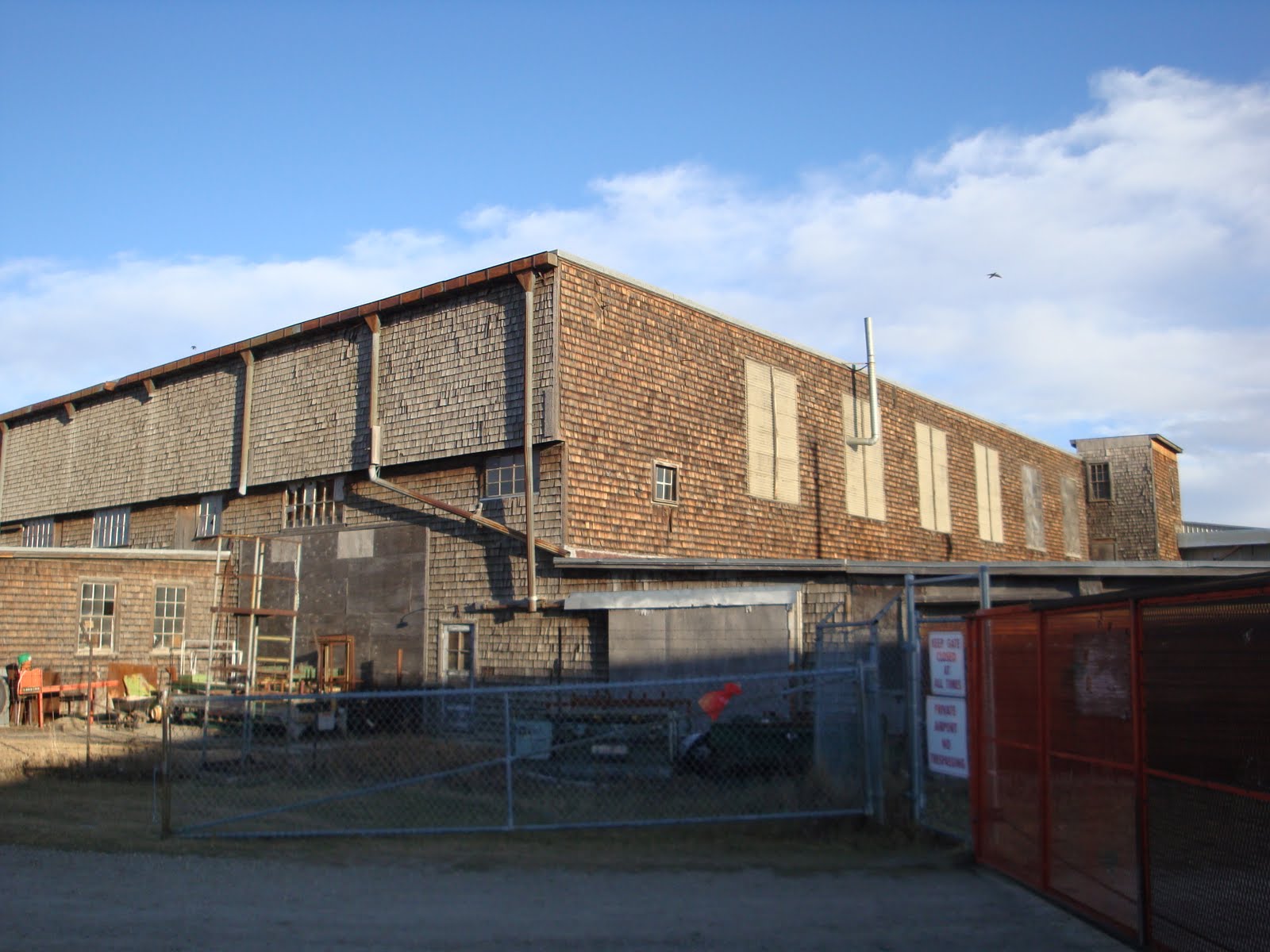
 Here you can see one of the original buildings from the BCATP days and to the left is one of the storage units from one of the modern day businesses on the field. The old building is probably not long for this world as it is starting to fall down and it appears that no one is trying to stop it from doing so. Looks like they are storing some pallets in here in the meantime.
This final shot is the lake where the bombing range was. It is about 5 miles to the northeast of the airfield and it appeared to me that there used to be a plaque explaining the significance of this field but it had been stolen from the large rock it had been attached to. I have heard a few people say that there are still bombs in the lake. The majority of the area surrounding the lake is oilfield sites but there are a few areas being used for agriculture. It is amazing to think of all the history that surrounds us, most of which we know so very little about.
No comments:
Post a Comment